


Early Careers Hydrogeologists’ Network – Past Meetings
16 June 2025 ECHN Event – Christchurch
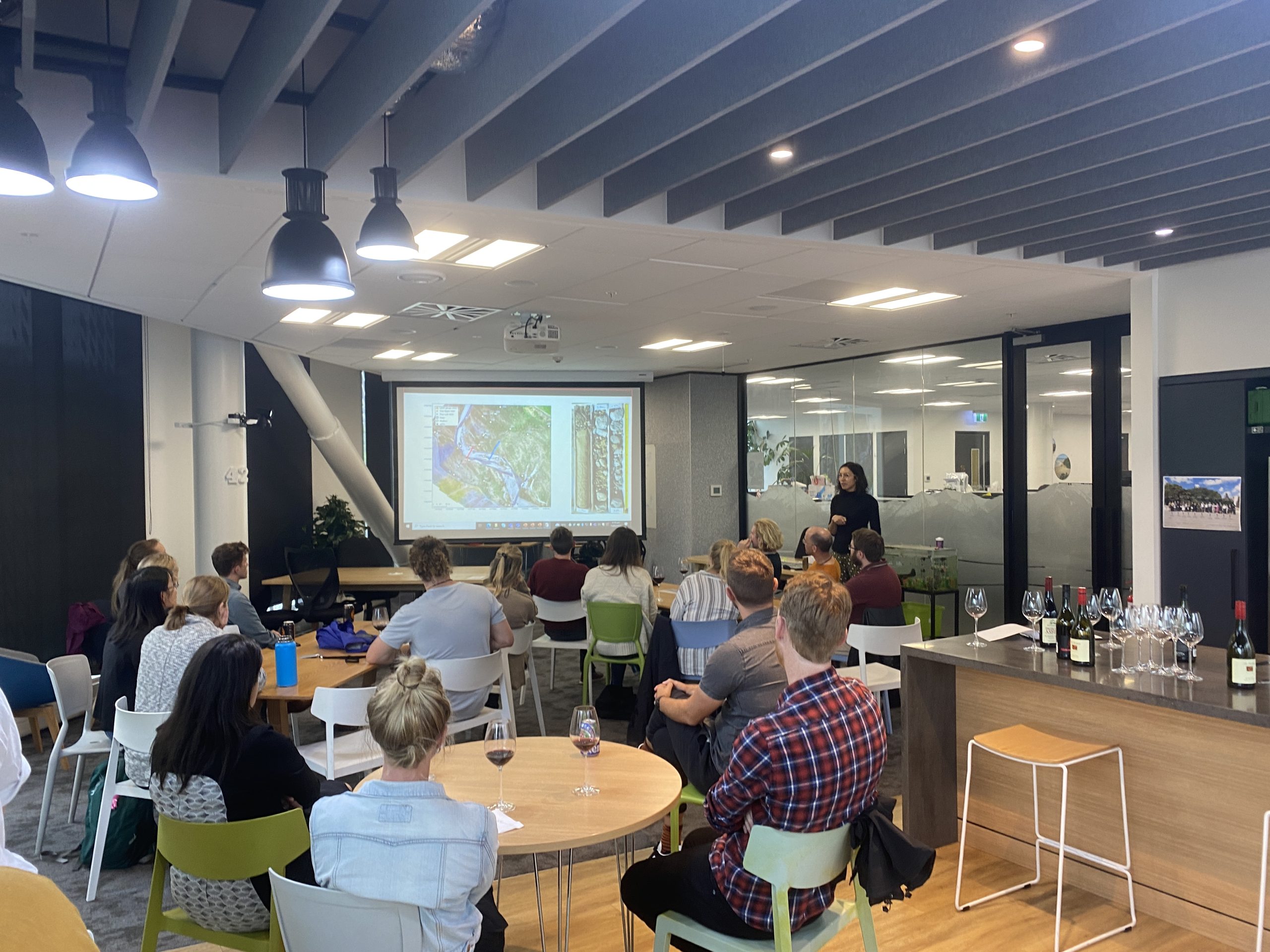
The ECHN held its fifth meeting at The University of Canterbury Club, Ilam Homestead, 87 Ilam Road, Ōtautahi / Christchurch. Two presentations were given by Patrick Durney (Lincoln Agritech Ltd) and Tara Forstner (University of Canterbury).
Patrick Durney (Lincoln Agritech Ltd)
Title: Modelling with a purpose
Background: Patrick Durney is a Research Scientist in the Environmental Research Group at Lincoln Agritech. With a robust background in hydrogeology and modelling, his work focused on statistical and machine learning applications, unsaturated flow and transport modelling, integrated water resource management, and groundwater mounding from artificial recharge. He holds a BSc in Geology, a Postgraduate Diploma in Engineering Geology, and a Master’s in Water Resource Management from the University of Canterbury.
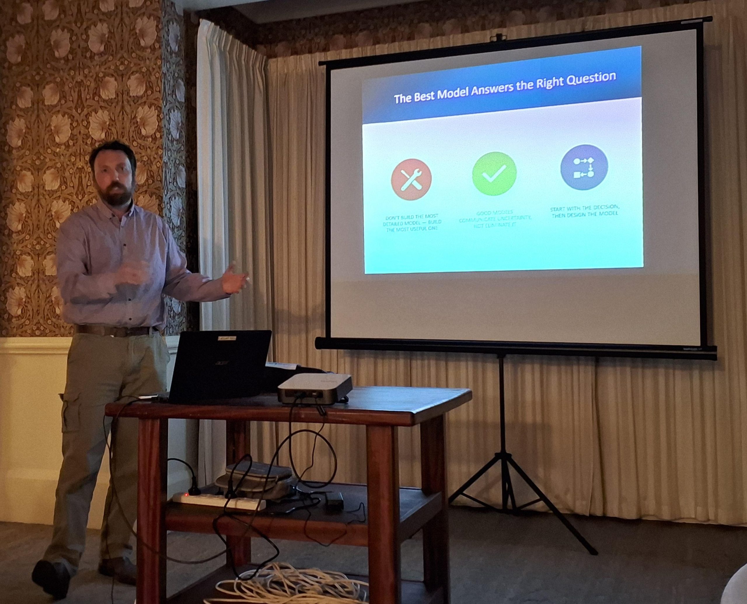
Presentation: Patrick’s talk outlined three models and their specific uses, emphasizing that a model is a tool—not a truth machine. Each model was designed for a particular purpose to address a specific question, rather than answer every possible query.
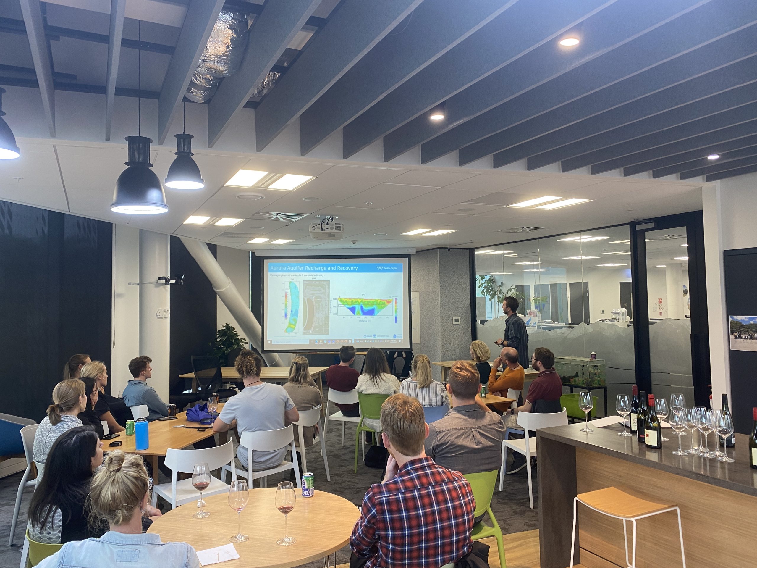
Tara Forstner (University of Canterbury)
Title: Hindcast characterization of a culturally important spring: Tracing spring source and flux in a multi-aquifer setting, Heretaunga Plains, Aotearoa New Zealand
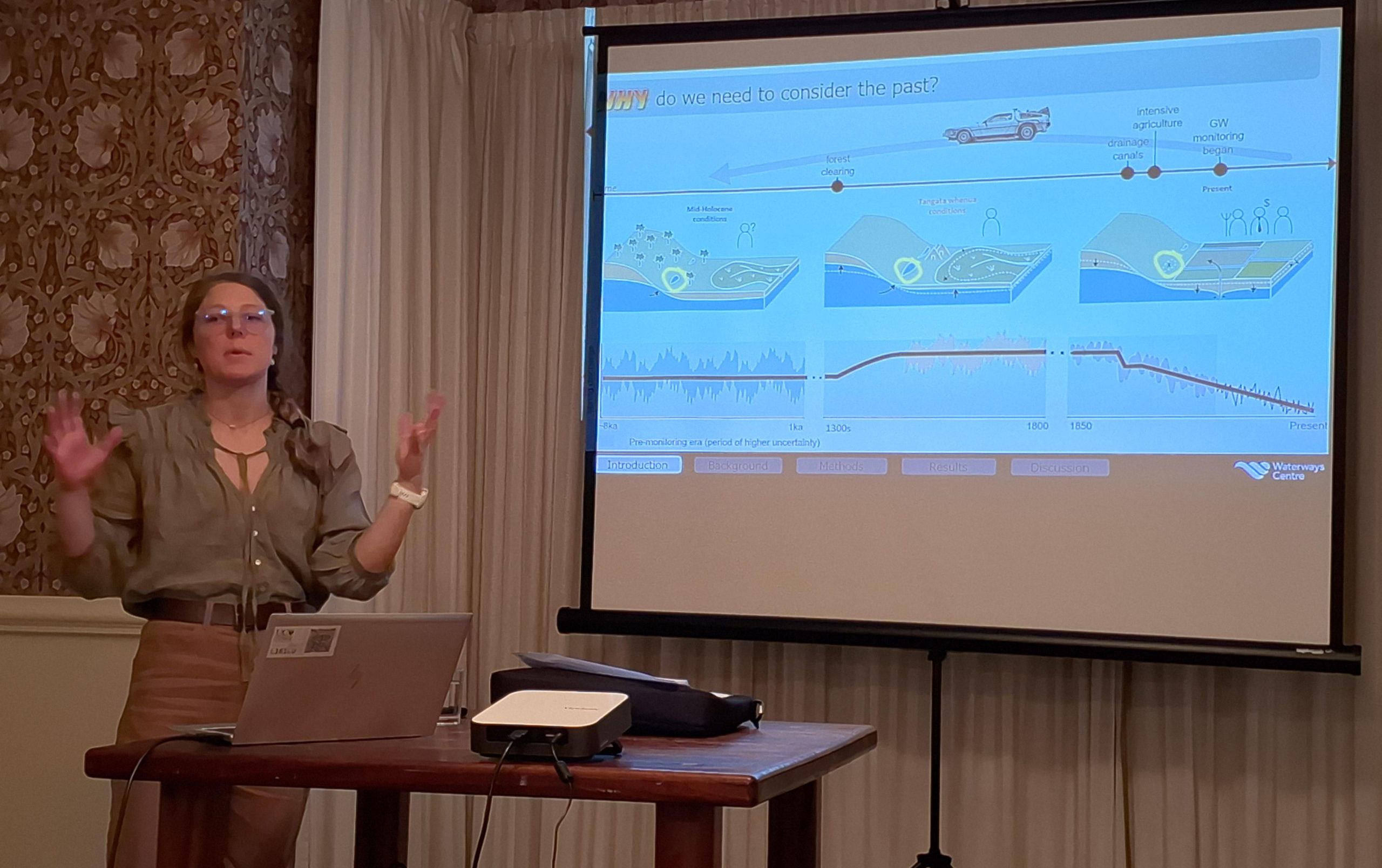
Background: Tara Forstner’s PhD research investigated methods for reconstructing pre-European baseline conditions of a groundwater–surface water system using indigenous records. Baseline conditions often pre-date monitoring, so combining Western science with Māori knowledge was vital for understanding impacts on water resources affecting indigenous communities.
Presentation: Tara’s presentation examined Te-Pakipakitanga-o-Hinetemoa, a culturally significant spring on the Heretaunga Plains. Situated between a sedimentary basin and limestone hills, the spring’s complex hydrology challenges impact assessments and restoration planning. Using hydrochemical, lithological, and geophysical methods, she analysed seasonal flow patterns, identified water sources, and built a conceptual hindcast model based on historical wetland data. Her work supported culturally informed restoration and highlighted the integration of indigenous and scientific knowledge.
6 November 2024 ECHN Event – Christchurch
Mel Knottenbelt from Environment Canterbury and Sujani Ariyadasa from ESR presented at Environment Canterbury, 200 Tuam St., Ōtautahi / Christchurch.
Mel Knottenbelt (Environment Canterbury)

Title: Nitrate nitrogen insights from a new source of historic groundwater data
Background: Mel has been a Science Analyst in ECan’s Groundwater team for nearly 2.5 years, focusing on groundwater data analysis. Before moving into the environmental space, Mel completed a Master’s in Microbiology and Immunology and worked as a scientific content creator for a biotech company.
Presentation: To better predict groundwater quality into the future, it is crucial to understand historical data. Mel’s presentation explored a newly uncovered source of historical groundwater quality data for Canterbury, dating from 1901 to 1991. She focused on nitrate nitrogen concentrations over the decades, utilizing modern data visualization tools like Power BI for analysis.
Sujani Ariyadasa (ESR)

Title: Surface-modified biopolymer microparticles as surrogates for investigating Legionella biofilm attachment in plumbing systems
Background: Sujani is a groundwater microbiology scientist in the Water and Environment group of ESR Christchurch Science Centre. She obtained her PhD in Biotechnology from the University of Canterbury. Her PhD project involved developing biosynthetic bacterial mimics for studying Legionella pneumophila persistence in engineered water systems.
Presentation: Sujani described the development of a novel, eco-friendly biopolymer surrogate that mimics the size, shape, and surface properties of Legionella pneumophila, validated in laboratory-scale bioreactors. This surrogate is important for studying Legionella’s persistence and biofilm formation in plumbing systems, relevant to preventing disease outbreaks.
30 August 2023 ECHN Event – Christchurch
The ECHN held its third meeting at WSP office, 12 Moorhouse Ave, Ōtautahi/Christchurch. Two talks were presented at this event by Ryan Burgess (senior Hydrogeologist at Hydro Heochem Group) and Matt Silver (Environmental Chemist at Environment Canterbury).
Aquifer Test Interpretation in Real World Aquifers
Background: Ryan is a Senior Hydrogeologist at Hydro Geochem Group with over 12 years’ consulting experience, focusing on groundwater management. He has undertaken various roles, from project manager to technical specialist, on multidisciplinary teams responsible for the exploration, development, and management of groundwater resources across New Zealand, Australia, and North and South America.
He advises on multiple aspects of groundwater studies, including exploration, resource development and wellfield design, hydrogeological characterization, source water protection (i.e., capture zones), construction dewatering, numerical modelling, groundwater-surface water interactions, and assessment of environmental effects. Ryan has extensive experience involving both granular and fractured bedrock aquifer settings, ranging across shallow unconfined aquifers with connection to surface water to deep confined sedimentary basins.
 Presentation: The interpretation of aquifer tests including a single observation well are routinely straightforward and a single estimate of aquifer properties is obtained. In the case where multiple observation wells are monitored during an aquifer test, the exercise becomes much more challenging. Groundwater level responses are typically variable, reflecting the heterogeneous nature of the aquifer. Estimates of aquifer properties from separate analyses at individual wells often produce inconsistent results. When one recalls that a key underlying assumption of most analytical solutions is that of homogeneity, the only conclusive finding is that the conceptual model upon which the analyses is based is violated, possibly severely so. When analyses are approached in this way, none of the estimates may be reliable.
In this presentation, an alternative approach will be suggested. The tools are not new. In fact, they represent the simpler of the tools we already have at our disposal. Rather, it’s the application of critical thinking that empowers the analyst. The advocated approach may allow an analyst to see the forest from the trees, and estimate the representative average transmissivity of real, that is heterogenous, aquifers.
An introduction to PFAS and their subsurface fate and transport
 Background: Matt Silver is an environmental geochemist with experience in academic, consulting and governmental roles. Prior to joining Environment Canterbury in May 2023, he worked as a PFAS/emerging contaminants specialist at the Wisconsin Department of Natural Resources (Wisconsin, USA). Matt did his doctoral degree in Germany on the fate of pharmaceutical and nitrogen compounds during infiltration of treated wastewater, within an EU project on Managed Aquifer Recharge. While at the Wisconsin Department of Natural Resources, Matt led a study collecting water samples from 450 private wells across the state to determine PFAS prevalence and infer source types affecting groundwater away from known PFAS point sources.
Presentation: Per- and polyfluoroalkyl substances (PFAS) are a large group of human-made chemicals that were first used in products in the 1950s. Since then, PFAS have been put into increasing numbers of products over time and today can be found as water-repellent and grease-resistant coatings in items including food packaging, carpeting and upholstery, clothing, furniture and cookware. While those uses all represent possible dispersed sources of PFAS to groundwater, some PFAS uses at industrial facilities and their presence in certain types of firefighting foams can result in major point source releases to groundwater. PFAS are often present in products in formulations that can degrade to release perfluoroalkyl acids (such as PFOA, PFOS and PFHxS, for which New Zealand has recently enacted Maximum Acceptable Values for drinking water). The PFAS formulations in products do not necessarily contain perfluoroalkyl acids directly, rather “precursor” compounds, which pose a challenge to mass balance approaches and can represent long-term sources to groundwater. If released, several factors can lead to PFAS accumulating in soil or moving slowly through vadose zone material above the water table. Once in groundwater, PFAS tend to behave more similarly to other contaminants (such as nitrate) and do not degrade.
15 February 2023 ECHN Event – Christchurch
The ECHN held its second meeting at Tonkin + Taylor office, PwC Centre, Level 3/60 Cashel Street, Ōtautahi/Christchurch, 8013.
 Two talks were presented at this event by Alice Sai Louie PhD candidate at University of Canterbury and Cameron Jasper Senior Hydrogeologist at Tonkin + Taylor.
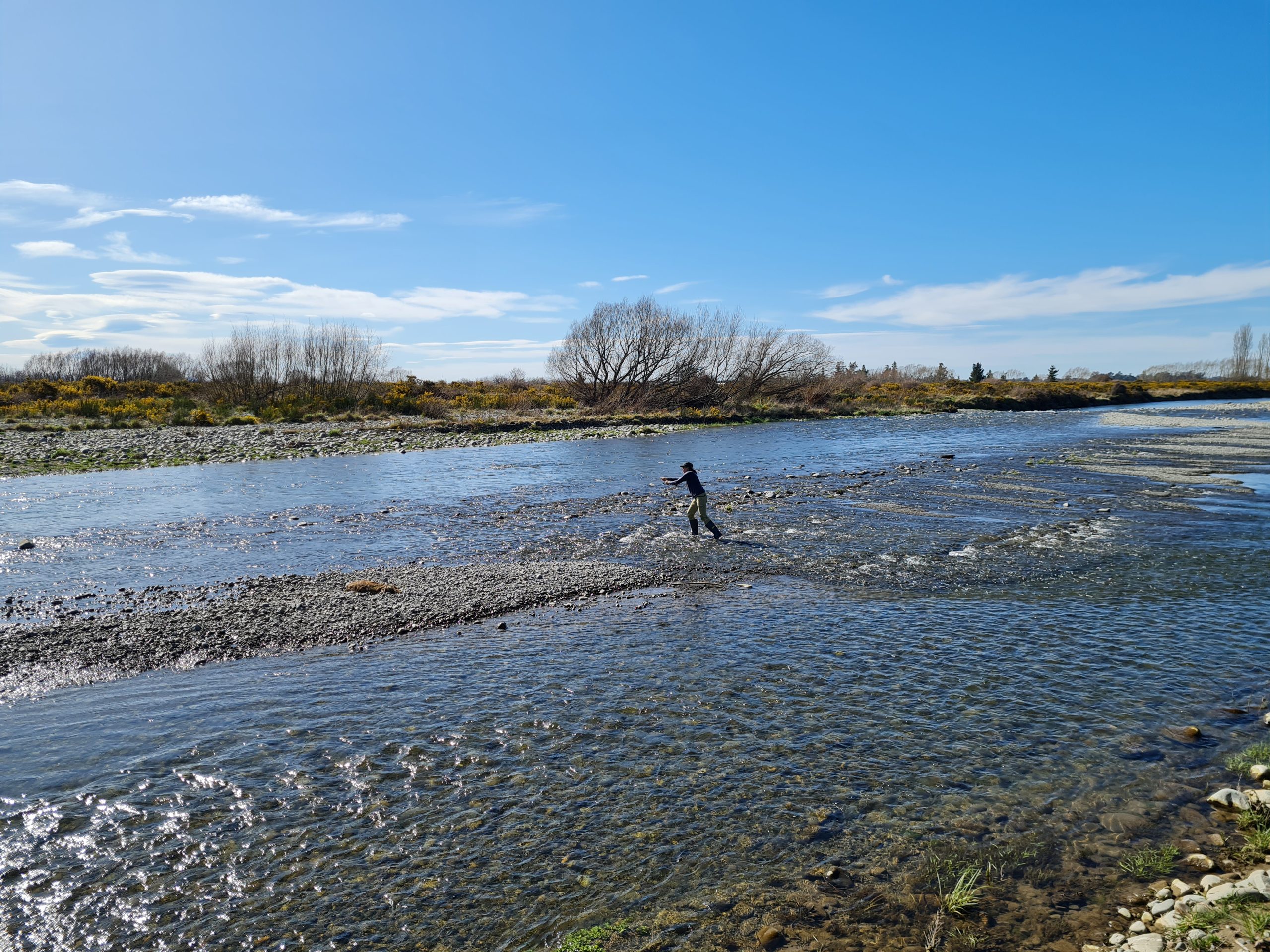
“Quantifying losses from braided rivers using active distributed temperature sensing”
 Background: Alice is a PhD candidate at the University of Canterbury researching surface water – groundwater interaction in braided rivers. Her research will utilise heat as a tracer using novel Active-Distributed Temperature Sensing (A-DTS) methods, with an aim to gain insight into how groundwater velocity vectors from alluvial river systems vary spatially and temporally. This study is part of an MBIE Endeavour Fund research programme on braided river research.
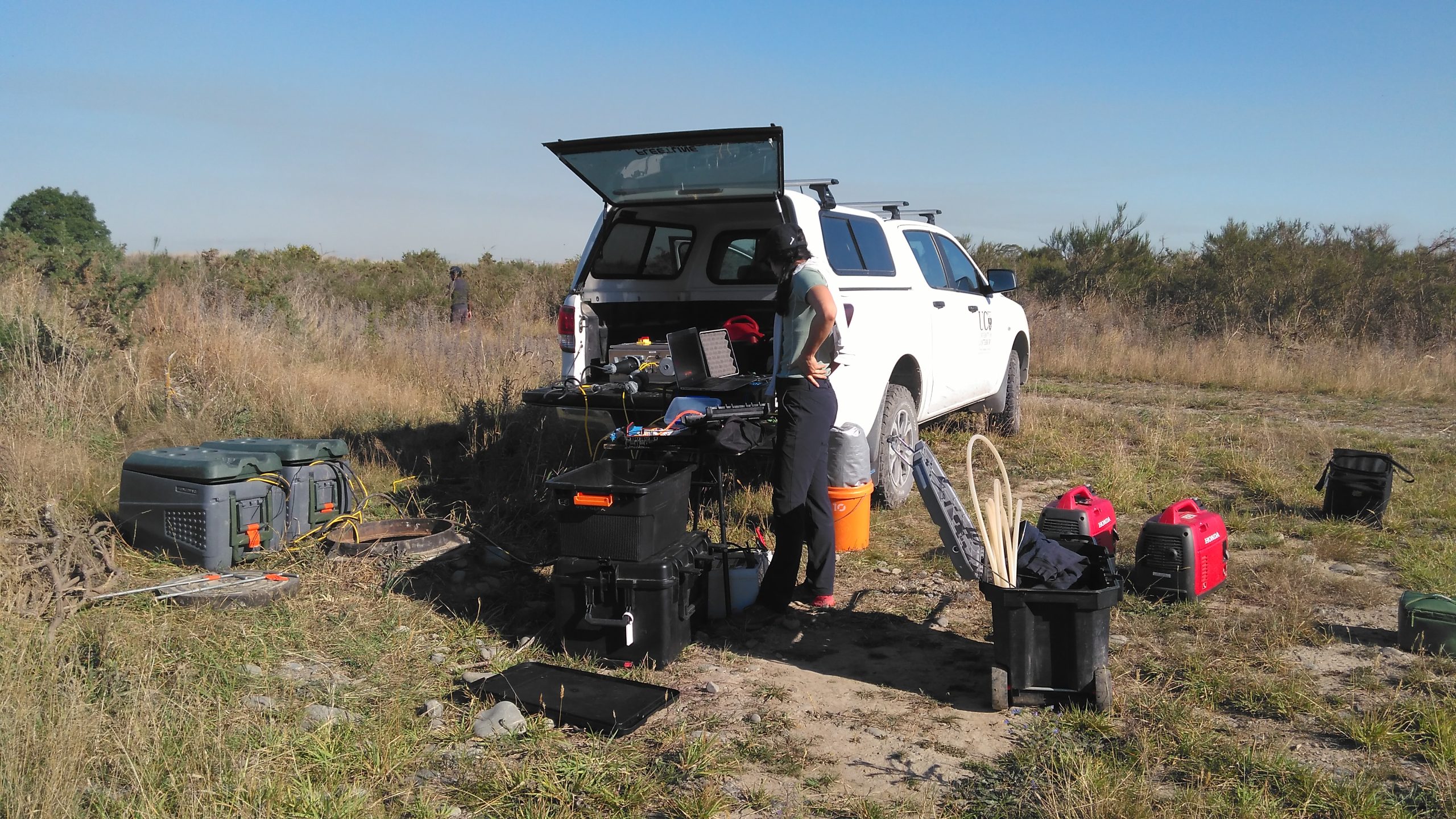
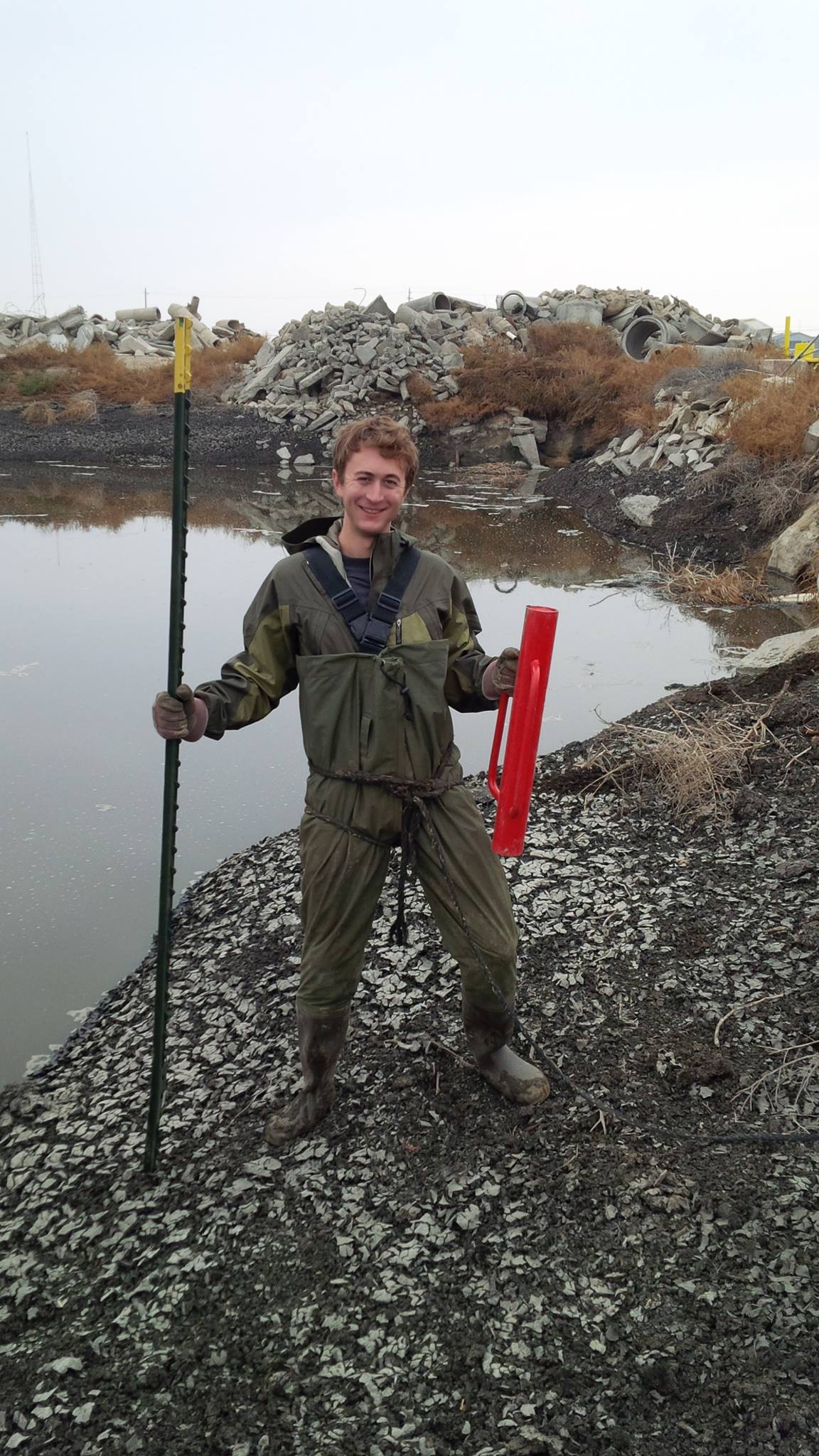
Presentation: Globally, braided river systems are a major recharge mechanism for alluvial aquifer systems providing a significant contribution to groundwater, yet this process of surface water – groundwater interaction is a gap in hydrological research. River leakage from braided rivers is the main source of groundwater recharge in the Canterbury Plains of New Zealand (Coluccio & Morgan, 2019). This study investigated surface water – groundwater interaction in the Waikirikiri Selwyn River, in the South Island of New Zealand, using Active-Distributed Temperature Sensing (A-DTS) and estimated groundwater recharge to the alluvial aquifer system, as outlined in Banks et al. (2022).
 The field study site is within an ephemeral losing reach of the river and contains two active channels. Braided rivers are dynamic, high-energy environments; therefore, the fibre-optic cables were installed beneath the ground to protect this infrastructure from regular flood events. Novel horizontal Directional Drilling was used to construct two, 100 m long drillholes at a depth of 5 m below ground level and perpendicular to the river channel. Additionally, two vertical A-DTS installations were constructed to 30 m depth. The drillholes were completed with a hybrid fibre optic cable containing four multi-mode fibres and copper conductors.
Groundwater velocities were derived using both analytical and numerical solutions and preliminary results indicate groundwater velocities exceeding 10 m/d. By calculating groundwater velocities, it is possible to quantify groundwater recharge from braided rivers which can aid in informing water allocation and management practices.
References:
Banks, E. W., et al. (2022). “Active distributed temperature sensing to assess surface water–groundwater interaction and river loss in braided river systems.” Journal of Hydrology 615: 128667.
Coluccio, K. and L. K. Morgan (2019). “A review of methods for measuring groundwater-surface water exchange in braided rivers.” Hydrology and Earth System Sciences 23: 4397-4417.
“Managed aquifer recharge: conceptual overview and introduction to sites in New Zealand and abroad”
Presenter 2: Cameron Jasper (Tonkin + Taylor)
Background: Cameron is a hydrogeologist with a range of analytical, modelling, geospatial, survey, and monitoring skills. He joined T+T in October 2021 following his experience across the western US and New Zealand. Experienced in siting, design, and assessment of constructed wetland, managed aquifer recharge, and targeted stream augmentation systems.
Presentation: Managed aquifer recharge is a globally utilized technique to revitalize surface and groundwater resources. This approach leverages a variety of methods tailored to fit specific hydrogeological conditions and goals, including aquifer storage and recovery (injection/abstraction bores) and spreading techniques (infiltration ponds).
In the Canterbury region, efforts are underway to reduce nitrate levels in groundwater through recharge projects at various stages. Alongside this, near river recharge and stream/spring augmentation initiatives aim to boost baseflows and enhance the health of groundwater-fed ecosystems. However, the feasibility of implementing recharge sites across irrigation areas is dependent on water availability, regional planning, changes in land usage, and projected groundwater quality.
Infiltration ponds may play a crucial role in enhancing groundwater quality, quantity, and supporting ecosystems, but their effectiveness at the site level can be hindered by shallow groundwater levels, clogging, and the variability of less permeable alluvial deposits. 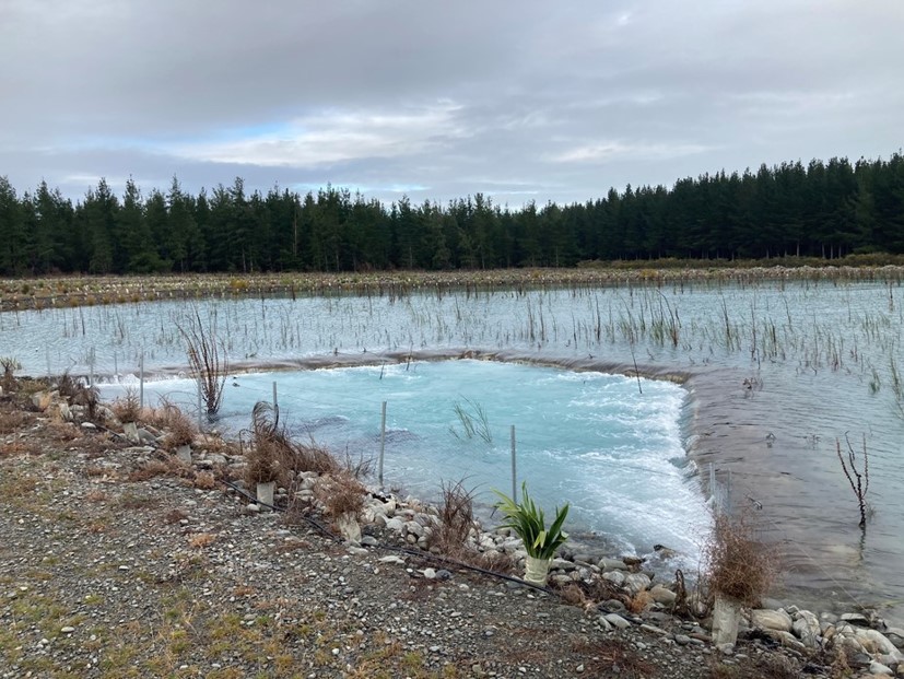 Borehole investigations alone can miss the distribution of restrictive deposits, leading to underperforming recharge rates. By using geophysical techniques including resistivity tomography, electromagnetics, self-potential, and temperature sensing, primary infiltration pathways can be used to improve site selection and design. To mitigate the risk of microbial contamination, it is essential to conduct a thorough assessment of source water quality, transport modelling, and monitoring.
October 2022 Event – Christchurch
 The inaugural ECHN Technical meeting was held on 22 October 2020 at GHD, 138 Victoria Street, Christchurch. Two speakers presented to a group of approximately 20 Early Career Hydrogeologists. Details of the presentations are summarised below and can be downloaded in the following link.
‘Investigation of groundwater recharge and irrigation efficiency under loess soil’
Presented by Kate Bailue Senior Groundwater Scientist at Environment Canterbury.
 Background: Kate has over 15 years experience as a hydrogeologist with a background in groundwater resource management and modelling. Her current role with Environment Canterbury includes conducting groundwater
investigations and providing advice on groundwater quality and quantity for regional planning, resource consents, compliance monitoring and public enquiries. Prior to joining Environment Canterbury, she was a consultant hydrogeologist where she worked on a range of groundwater projects both in New Zealand and in Australia, including 10 years with Rio Tinto in Western Australia.
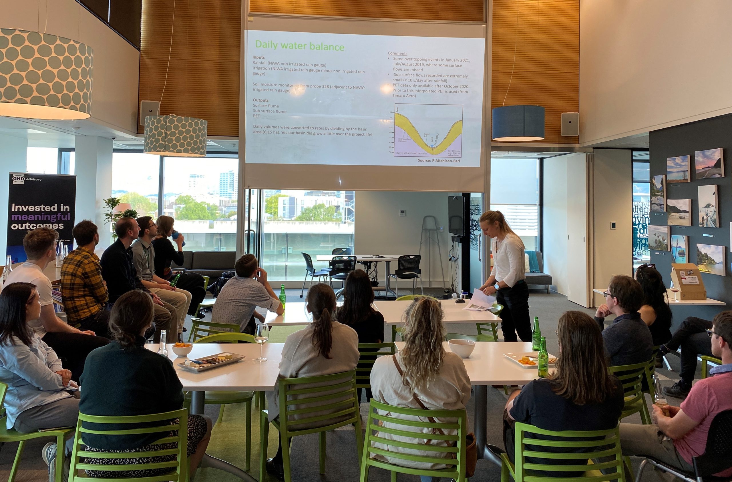
Presentation: Loess soils cover approximately 5,606 km2 of land in Canterbury, representing 13% of land in the region. Yet, the hydraulic characteristics of loess soils are poorly understood, even though we know they behave very different from those of the stony and well-draining soils which are common on the Canterbury Plains.
The Collaborative Hillslope Project was established in 2018 to improve understanding of the spatial and temporal controls on water movement through loess soil. The project team consisted of team members from Environment Canterbury, NIWA, Plant & Food Research and Lincoln University. A 4.5 ha single hillslope basin (paddock) dominated by loess soils, located near Otaio, South Canterbury was chosen as the primary field site. The hillslope site was heavily instrumented and characterised with climate and rainfall gauges, surface flumes, piezometers, soil auger holes and soil moisture probes to allow us to measure as many of the water balance variables as possible.
‘Arsenic in the groundwater of Waitaha/Canterbury region’
Presented by Andy Pearson Senior Groundwater Scientist at ESR.

Background: Andy has a PhD in geochemical analysis of speleothems (i.e., secondary cave carbonate deposits) for palaeo-environmental reconstruction (University of Waikato). Since completing his studies in 2020, Andy has primarily worked on groundwater quality; firstly, as a Groundwater Scientist for Environment Canterbury, then at the Institute of Environmental Science & Research (ESR).
Presentation: Arsenic contamination in groundwater affects tens of millions of people worldwide and is also
regarded as a major groundwater issue in Aotearoa New Zealand. Yet, region-wide, the occurrence and causes of arsenic presence are relatively understudied in Canterbury, despite groundwater being the primary source of water for irrigation and drinking. This study was conducted to evaluate the connection between elevated groundwater arsenic concentrations and inferred redox state of aquifers across the Canterbury region using Environment Canterbury data. In total, 2,428 samples from 1,172 wells were analysed for arsenic concentrations, and compared against groundwater redox state, which was inferred using geochemical indicators for each well.